

Galveston Island, Texas Weather (77550)
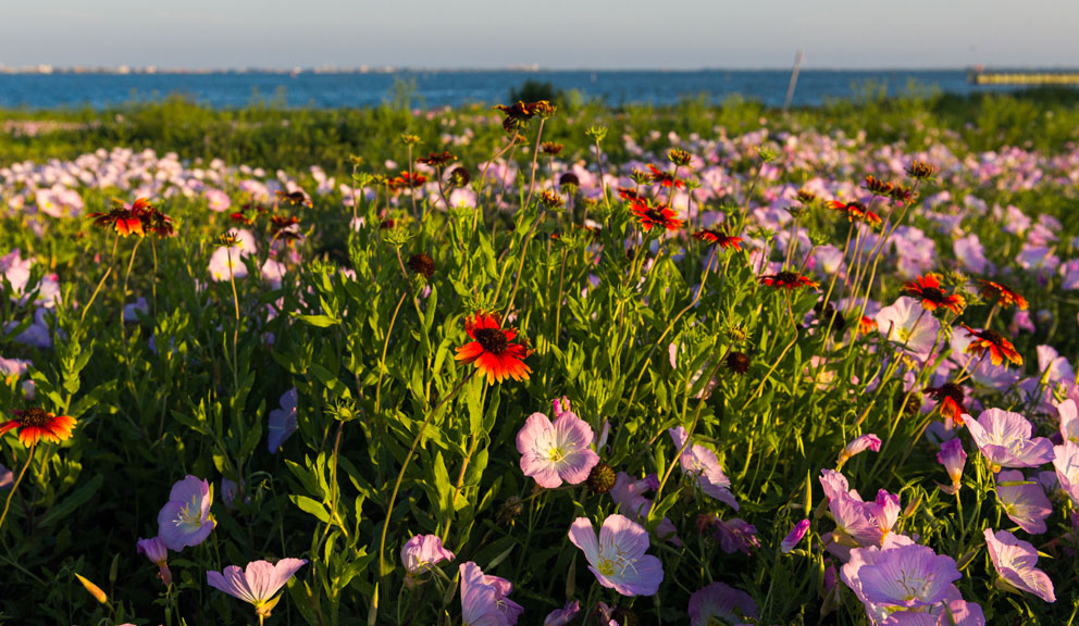
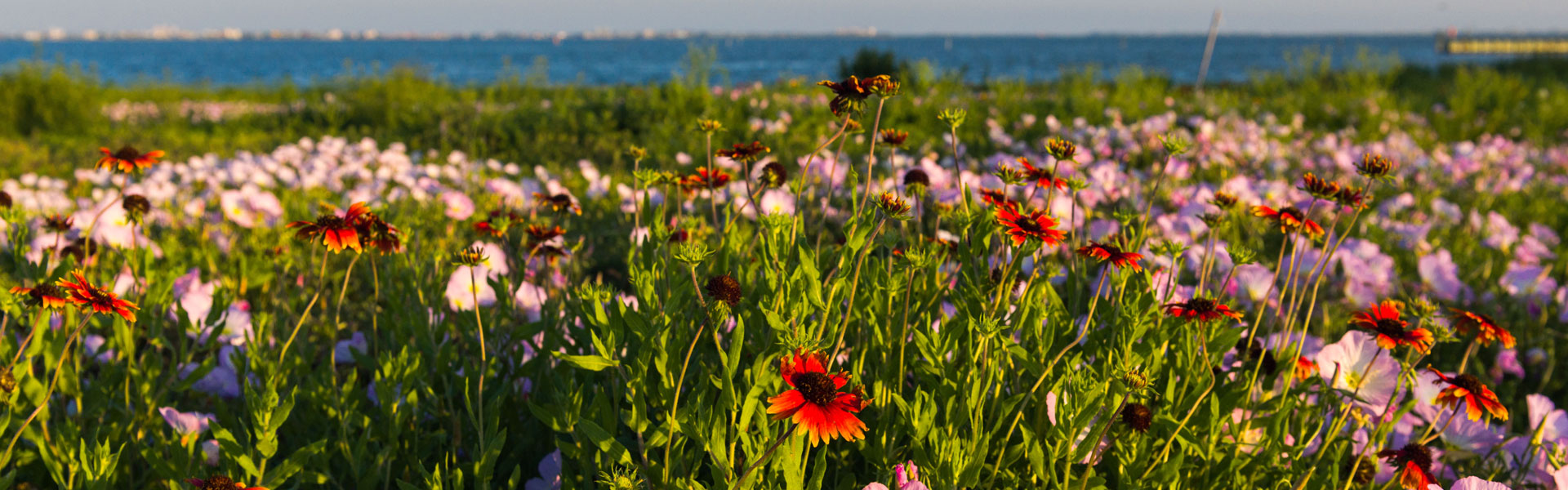
Warm breezes and year-round temperate seas complement the city’s rich historic districts, award winning restaurants, unique attractions, and bustling shops. Bathers can enjoy the balmy Gulf waters seven months of the year, from April to October Indeed, the Island is almost always temperate, with winter temperatures averaging 54º F and those of summer averaging only 86º F, thanks to the moderating influence of the constant breeze provided by the Gulf of Mexico. You’ll even see some folks donning wet suits for winter surfing!

Experience Life

Take a Self-guided Tour
Current Conditions
Temperature:
Feels Like:
Humidity:
Wind:
87°
99°
76%
SSE 9mph
Visibility:
Rain - Past Hour:
Rain - Today:
Last Update:
10.00mi
0.00"
0.00"
07/01/2025 7:17PM
National Weather Service Houston/Galveston TX Forecast
TONIGHT...Partly cloudy. Hazy. Lows in the lower 80s. Southwest winds 5 to 10 mph.
WEDNESDAY...Mostly sunny. Hazy with highs in the upper 80s. West winds around 5 mph, becoming south in the afternoon.
WEDNESDAY NIGHT...Partly cloudy in the evening, then becoming mostly cloudy. Hazy in the evening. Humid with lows in the lower 80s. Southwest winds 5 to 10 mph.
THURSDAY...Partly sunny. Humid with highs in the upper 80s. South winds 5 to 10 mph.
-day Forecast
National Hurricane Center Tropical Weather Outlook

Tropical Weather Outlook
NWS National Hurricane Center Miami FL
Issued by the NWS Weather Prediction Center College Park MD
200 PM EDT Tue Jul 1 2025
For the North Atlantic...Caribbean Sea and the Gulf of America:
1. Near the Southeastern U.S.:
A frontal boundary is expected to stall and weaken off the southeast
U.S. coast late this week. An area of low pressure could develop
from the weakening front by the weekend over the Atlantic waters off
the southeast U.S., over Florida, or over the eastern Gulf. Some
gradual tropical or subtropical development could occur thereafter
as the low drifts and moves little. Regardless of development, heavy
rainfall is possible across portions of the southeast U.S.,
particularly across the west-central Florida coast.
* Formation chance through 48 hours...low...near 0 percent.
* Formation chance through 7 days...low...30 percent.
Forecaster Churchill

Eco-Art Kayak Adventure

Experience Life


We'll Get You Hooked Up!
Experience Life
Average Temperatures
| Month | Temp (High/Low) |
|---|---|
| January | 60 / 48° |
| February | 63 / 50° |
| March | 68° / 57° |
| April | 74° / 64° |
| May | 81° / 72° |
| June | 86° / 77° |
| July | 88° / 79° |
| August | 89° / 79° |
| September | 86° / 75° |
| October | 79° / 68° |
| November | 70° / 58° |
| December | 63° / 50° |
It’s Not TV. It’s


Request a Free Visitor Guide
If you’d like to receive a visitor guide or request additional tourism information, please click here.